MAPPING WITH GOOGLE EARTH®
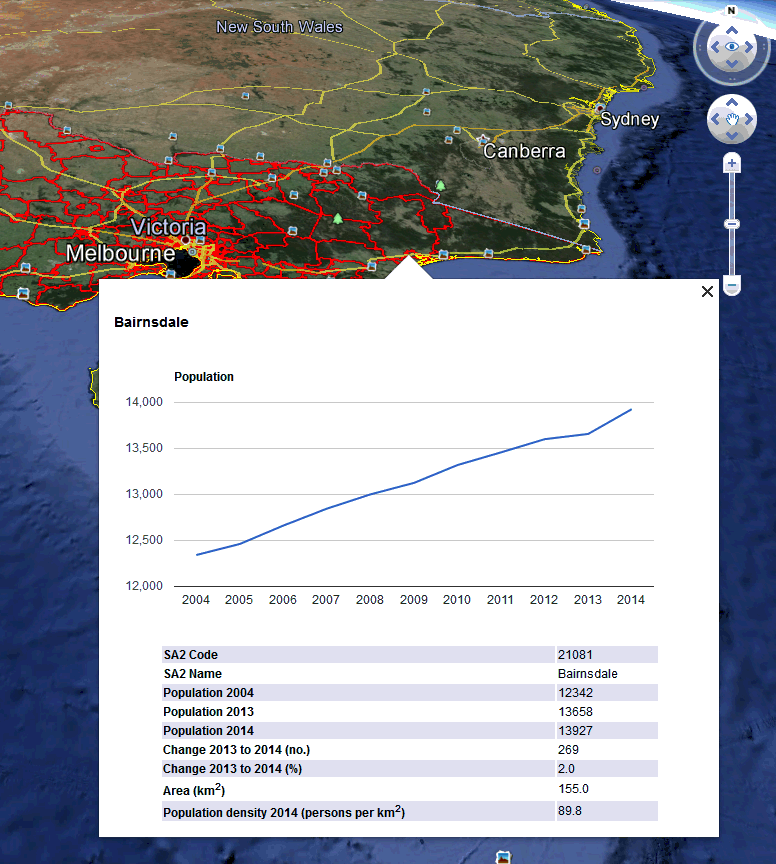
This release incorporates KMZ files that can be opened in Google Earth®. This allows users to zoom in and out and then choose a region to view selected population characteristics. For each state and territory, the available geographies are Statistical Areas Level 2 (SA2s) and Local Government Areas (LGAs). There are 15 KMZ files available from the Downloads tab. There is no LGA map for the ACT where the entire territory is Unincorporated.
The boundaries used in the Google Earth® files are simplified versions of the official SA2 and LGA boundaries.
To view these maps in Google Earth®:
1. Download and install the free Google Earth® software.
2. Download the KMZ files from the 'Downloads' tab of this publication.
3. Start Google Earth®, select File, Open and open the KMZ file.
4. Use the navigation controls within Google Earth® or your mouse to zoom in and out and navigate around the map.
5. Select an SA2 or LGA of interest by using the primary mouse button, to display an information window containing selected population data.

 Print Page
 Print All
 Quality Declaration